Unmanned Flight for Situational Awareness – Design Thinking workshop
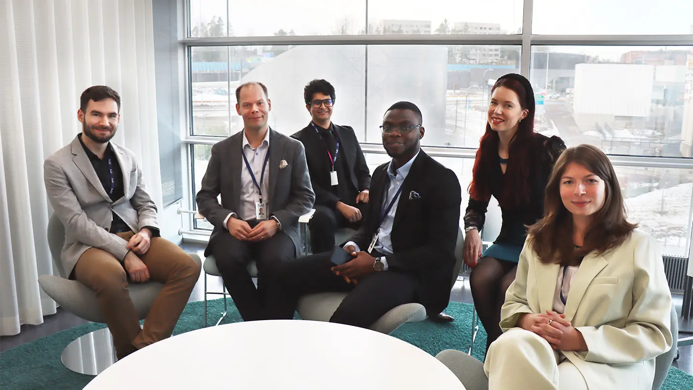
We hosted a workshop for our AI-NET-ANTILLAS Finnish consortium partners. Together we discussed the challenges of unmanned flight using a design thinking perspective. Let’s go through the workshop in this blog post.
We hosted a workshop for our AI-NET-ANTILLAS Finnish consortium partners. Together we discussed the challenges of unmanned flight using a design thinking perspective. Let’s go through the workshop in this blog post.
AI-NET-ANTILLAS Celtic-Next research program aims to accelerate digital transformation in Europe by intelligent and secure network automation. The program provides value addition at both technological and business level, balancing the lever for a strong, if not equal, market pull for emerging technologies.
One of the narratives from AI-NET-ANTILLAS Finnish consortium is situational awareness from unmanned aerial vehicles (UAVs). The consortium recognizes the role of UAVs in Europe’s digital future. Intelligent and secure network automation will have to address the dynamic nature of UAV mobility.
Ongoing R&D activities along with coming regulatory framework suggest that the UAV industry is reaching maturity, providing the consortium an excellent market pull for network automation.
Situational awareness and design thinking
Huld hosted AI-NET-ANTILLAS partners from the Finnish consortium to evaluate the narrative of situational awareness from a design thinking perspective. The workshop aimed for:
- Discovering opportunities for partners to contribute on the situational awareness narrative.
- Providing a market pull for the partner technologies. Huld’s Design Puzzle played a key role in the proceedings of the workshop.
Huld’s Situational Awareness and Localization Technology: Huld is creating a system for visual navigation to reduce reliance of UAVs on GNSS (GPS, Galileo, etc.). The platform utilizes satellite imagery to geo-reference (search, overlay and align) images or video captured by a UAV.
The rationale behind this technology comes from the limited accessibility to GNSS in urban areas (U-Space), as GNSS receivers might get limited satellite connectivity in U-Space. In addition, upcoming regulatory frameworks suggest that UAV manufacturers would need a redundant navigation system for beyond visual line of sight (BVLOS) for commercial use of their equipment.
The technology works in a laboratory setting (TRL 4). Huld is preparing for testing the technology in the air (i.e., relevant environment TRL 5). The hurdle with such experimentation is the lack of a network architecture that can support such a design.
The workshop laid down the technology as a case study for the participants and provided practical use cases as a base for design thinking.
Workshop Use Cases
The workshop participants were divided into three teams, each with one use case pertaining to the situational awareness technology.
- Defense: Military operation in hostile GNSS-denied zone with non-existent connectivity, where a UAV is required for scouting purposes.
- Package Delivery: Last-mile delivery between suburban and urban areas to be carried out via UAV. Network connectivity will vary during the duration of flight.
- Smart City: Futuristic setting where network coverage is not a problem, but limited GNSS-reception and availability of UAVs might be.
Participants were divided into teams, each with one leader from Huld. The discussions revolved around the business cases. In this setting, each participant represented their organization. An account from the team leader’s perspective is provided.
Team 1: Defense Use Case
The first team’s focus was on a hypothetical autonomous AI on the edge use case. The use case comprised of a fictional surveillance mission of hostile territory by defense forces with the use of UAVs.
After introducing the problem, the team deliberated on and listed many potential challenges facing such a mission, for example, 1) non-existent or limited and opportunistic communication, 2) unavailability of GNSS due to jamming, 3) physical threats to UAVs, 4) data security and integrity, etc. The discussions truly revealed the breadth of such operations but also the opportunities to address within the consortium.
The team proposed several solutions for successful operations. Two main activities were identified that could considerably benefit from the combined expertise of the consortium partners and cover AI-NET’s research objectives.
Martin Roznovjak, Huld
Team 2: Package Delivery Use Case
The use case relates to challenges UAVs would face for last-mile delivery in urban areas. Some of the conditions stated in the use case were unstable network connections and the probability of the UAVs to drift into a no fly zone.
Identified challenges include: 1) spoofing of video or image feed, 2) low bandwidth or network congestion, 3) unapproachable delivery location and 4) changing weather conditions. Stakeholders were identified. One prominent point that came up is: how the roles of consortium members can oscillate throughout the lifecycle of the project?
Some recommendations were: 1) use of ground beacons for assisted positioning, 2) implementation of a redundant network architecture and 3) use of failure-state handling models. Partners offered their contributions to respective solutions and helped creating metrics for success.
Samuel Asiedu, Huld
Team 3: Smart City
How can we use drones as a first response tool for accidents in smart cities? The team addressed this with a solution targeted at emergency services. The proposed system acts as an informatory tool to rapidly analyze insights into the extent of an accident; intended for managing emergency resource allocation.
While working on the solution, the following challenges were identified: 1) How do we ensure stable connectivity, even in disaster scenarios? 2) How do we protect the system from malicious attacks? 3) How would the system be integrated to the already existing emergency management systems, and 4) how do we retrieve the accurate location of the incident?
Together with our AI-NET partners and their deep knowledge in cybersecurity, cryptography and networks; we addressed these challenges and formulated solutions congruent to the consortium’s resources.
We very much enjoyed the lively discussion and are looking forward to following collaborations on the topic!
Antonia Schroff, Huld